
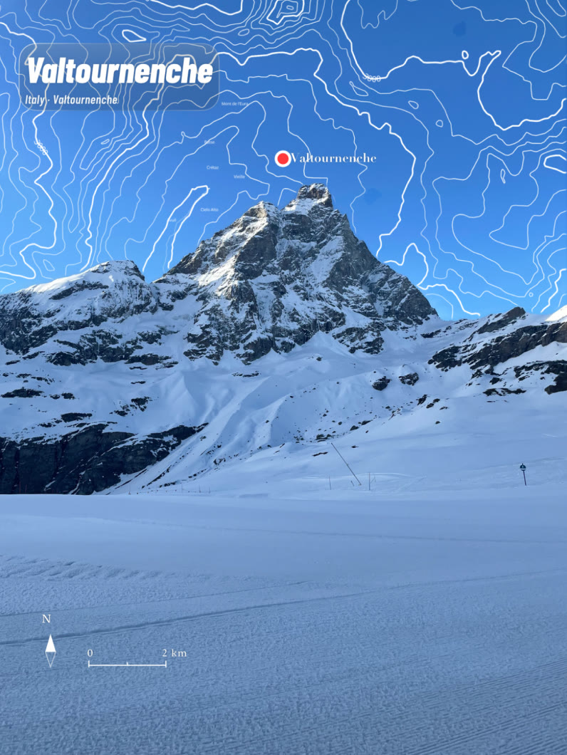
Photo × Map × Place
GeoRipple
Every place starts a ripple.
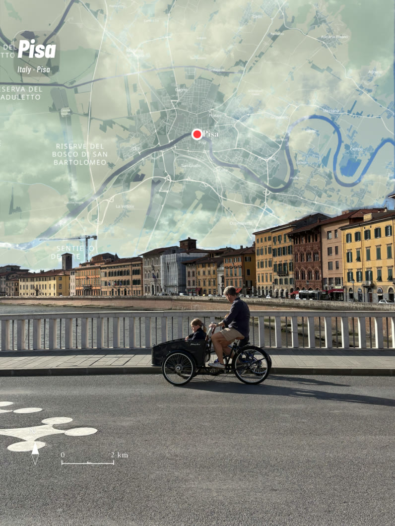
GeoRipple draws an accurate, beautiful map of where you stood into your travel photo — in the sky, on the sea, or as a printed frame around it.
Florence, Italy · Glow look
© OpenStreetMap · OpenFreeMap
Scroll to travel
Map looks
Nineteen ways to draw a place.
Same real geography, drawn nineteen different ways. GeoRipple reads what your photo shows on the device and puts the likely families first.
How it works
Three taps to a keepsake.
- 01
Pick a photo
The place comes from the photo's own location. No location? Search for the place.
- 02
Choose where the map goes
Tap the sky or the sea. The map sits on your photo, or your photo sits on the map as a printed frame.
- 03
Choose a look, export
Nineteen looks, by day and by night. Export saves a new image; the original is never touched.
Inside the app
Make it. Keep it. Find it again.
Your photo stays yours
The original is never modified. Every export is a new file.
It stays on your phone
Photos never leave the device. Reading the scene happens on the device too.
Real geography
OpenStreetMap data and real elevation. Coastlines and roads where they really are.
Pay once
Five free exports, then a one-time Lifetime unlock. No subscription.